
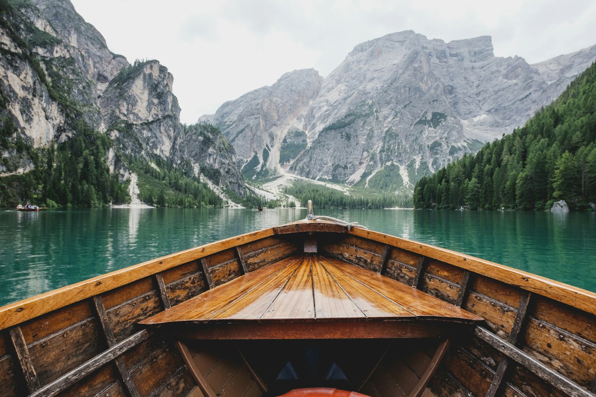
Switzerland has hiking for everyone, which sounds like marketing language but is genuinely true. The trail network is marked at five difficulty levels and the infrastructure around it, the trains and cable cars and huts, is designed to put walkers into the mountains regardless of their fitness level. I have done three-hour valley walks with elderly relatives and five-day ridge traverses in the same country, and both experiences were exceptional.
The challenge for a first-time visitor is that the options are almost overwhelming. Here are the trails that reward the effort most clearly, for walkers who are not experienced alpinists but want more than a stroll.
The Eiger Trail: Underneath the North Face
The Eiger Trail runs along the base of the Eiger North Face from Eigergletscher station to Alpiglen, a walk of about three and a half hours with the most famous wall in mountaineering directly above you for most of the route. The trail itself is straightforward, the terrain is well-marked, and the scale of what you are looking at takes a while to fully register.
The North Face is 1800 metres tall. Climbers on the upper sections are visible as tiny moving dots on clear days. The sound of rockfall from the upper ridges is a constant background noise. You do not need to be a climber to find this profoundly affecting. Take the Jungfraubahn from Grindelwald to Eigergletscher and walk back down to Grindelwald through Alpiglen.
Lugano and Monte San Salvatore: Italian Switzerland Without Crowds
The Ticino region in southern Switzerland is linguistically and culturally Italian and climatically Mediterranean. Lugano sits on a lake surrounded by steep wooded hills and the hiking here is completely different from the alpine terrain further north: dense chestnut forest, stone villages, terraced vineyards, and views down to the lake rather than up to glaciers.
Monte San Salvatore above Lugano is reachable by funicular and has a summit trail that circles the peak with views across three Italian lakes. The walk takes about two hours and ends in Lugano with enough time for a lakeside aperitivo before the train back. This version of Switzerland appears in almost no hiking guides aimed at international visitors.
Graubunden: The Largest Canton and the Least Known
Graubunden is the largest canton in Switzerland and the one with the lowest tourist density. The Engadine Valley and Pontresina near St Moritz get their share of visitors, but the valleys to the north, the Surselva and the Albula, are almost empty despite having walking as good as anything in the Bernese Oberland or Valais.
The Swiss National Park in the eastern corner of Graubunden is the oldest national park in the Alps and one of the strictest: no picking flowers, no leaving trails, no dogs. In return it has the highest density of wildlife in Switzerland: ibex on the ridges, chamois in the forest, golden eagles overhead, and the reintroduced lynx that is rarely but occasionally seen. Walking here feels like the Alps as they were before tourism arrived.
What to Know Before You Go
Mountain weather in Switzerland changes faster than any forecast can reliably predict. Start early in the morning, be off exposed ridges by early afternoon when thunderstorms typically build, and always carry a waterproof layer regardless of how clear the sky looks at nine in the morning. The Swiss Federal Institute of Meteorology provides hourly mountain forecasts that are more accurate than general weather apps.
Trail markings in Switzerland use a consistent colour system: yellow for easy valley walks, white-red-white for mountain trails requiring good footwear, white-blue-white for alpine routes requiring experience and equipment. Sticking to the yellow and white-red-white trails covers the vast majority of what most visitors want to see and do.
Route, budget and verification notes
Last editorial review: 1 August 2026. Recheck time-sensitive details shortly before travel.
Build the route
- The Eiger Trail: Underneath the North Face
- Lugano and Monte San Salvatore: Italian Switzerland Without Crowds
- Graubunden: The Largest Canton and the Least Known
- What to Know Before You Go
Use these sections as planning anchors rather than a fixed schedule. Confirm door-to-door transfer times, opening days and reservation requirements, then add recovery time after long journeys.
Budget before booking
Price the trip in four separate groups: accommodation, transport, food and paid activities. Add local transfers, baggage fees, taxes, insurance and a contingency amount. Exact prices vary by season and booking date, so this guide does not invent a single daily figure that may already be outdated.
Sources to verify
- MySwitzerland for official or primary travel information.
- IATA Travel Centre for passport, visa and health-document checks.
