
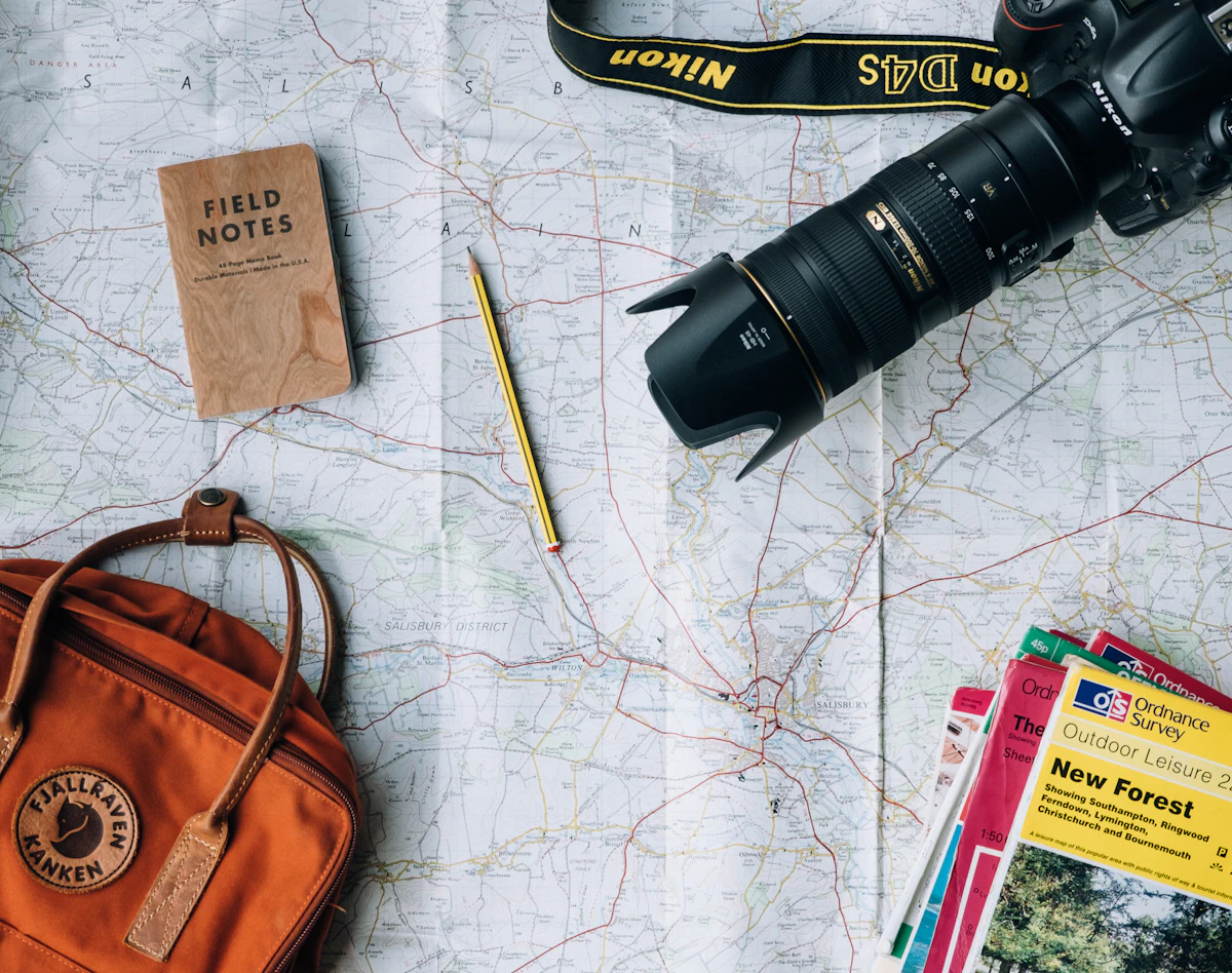
The American Southwest is where road trips acquire their logic. The distances between the highlights are too large to walk and too dramatic to see from an aeroplane window. The landscape — the red rock canyons of Utah, the flat light of the Navajo Nation, the vertiginous edge of the Grand Canyon — is experienced through movement, not through arrival. The two-week loop through Utah’s national parks, Monument Valley, Route 66, and the Grand Canyon covers the defining landscapes of the American West in a sequence that builds deliberately: each day opens into something larger than the day before, until you are standing on the South Rim watching the light change across the biggest thing you have ever seen. This is the route, the timing, and everything the guide books leave out.
The Route at a Glance
”
Fly into Las Vegas. Drive northeast through the Virgin River Gorge to Zion National Park. Continue east to Bryce Canyon. Drive through Capitol Reef and south to Moab for Arches and Canyonlands. Drop south through Bears Ears country to Monument Valley and the Navajo Nation. Head west through Kayenta to Page and Antelope Canyon. Drive south to Flagstaff, pick up Route 66, stop at the Grand Canyon’s South Rim, and return west to Las Vegas. Total driving distance: approximately 2,200-2,500 miles over 12-14 days. The direction is anticlockwise from Las Vegas, which means you build through the parks sequentially rather than doubling back. Budget at minimum two nights per national park; the parks that seem smaller on the map are larger on the ground than any guidebook suggests.
1. Zion National Park

”
Zion is the most visited national park in the United States by attendance — 4.7 million visitors per year — and the quality of what it offers justifies the numbers, even if those numbers require planning around. The canyon is carved by the Virgin River through Navajo sandstone, producing walls that rise 600-900 metres above the canyon floor in shades of red, orange, and cream. The park’s shuttle system runs from the visitor centre to the main trailheads during peak season (April through November); private vehicles are restricted on Zion Canyon Scenic Drive during this period. The Narrows — a trail that follows the Virgin River upstream through a canyon as narrow as 10 metres and as deep as 300 metres — requires wading through the river itself, waterproof trousers, and neoprene socks if the water is cold (ranger stations monitor conditions daily). The bottom-up approach from the Temple of Sinawava trailhead requires no permit. Angels Landing, the famous five-mile trail with chain-assisted climbing along an exposed ridge to a 1,488-foot summit, requires a permit obtained through the recreation.gov lottery — apply months in advance for summer visits.
2. Bryce Canyon National Park

”
Bryce Canyon is not technically a canyon. It is a series of natural amphitheatres eroded from the eastern edge of the Paunsaugunt Plateau — the rock breaking apart in pillars and spires called hoodoos, coloured red and orange and cream in a sequence that turns pink at sunrise and gold at sunset. The concentration of hoodoos here is the highest anywhere on earth. The rim trail connects the major viewpoints (Sunrise Point, Sunset Point, Inspiration Point, Bryce Point) in a 5.5-mile walk along the plateau edge. The Navajo Loop and Queens Garden trails descend into the amphitheatre and allow you to walk among the hoodoos at ground level — a completely different experience from the rim view, and worth the descent effort. Bryce sits at 8,000-9,000 feet elevation; it snows in winter, and the amphitheatre with a dusting of snow against a blue sky is arguably more beautiful than the summer version that appears in every brochure photograph. The dark sky at Bryce, with virtually no light pollution in any direction, is one of the finest stargazing locations in the continental United States.
3. Arches National Park

”
Arches contains 2,000+ documented sandstone arches — the highest concentration on earth. The arches form when the underlying salt layer shifts, the sandstone above cracks, and weathering progressively removes the debris until only the arch structure remains. Some arches are centuries in the making; some collapse in seconds when the load distribution shifts past the structural limit. Landscape Arch (290 feet span, one of the longest natural arches in the world) lost a 60-foot slab in 1991; visitors walk a flat path to view it from 100 metres, close approach prohibited. Delicate Arch — the iconic arch on Utah’s licence plate — is reached by a 3-mile round trip with 480 feet of elevation gain across slickrock to a natural bowl where the arch frames the La Sal Mountains in the distance. The hike is the best single hike in Utah. Fiery Furnace, a labyrinth of narrow sandstone fins requiring either a ranger-guided tour or a self-guided permit, is the most disorienting and interesting terrain in the park. Arches now requires a timed entry reservation during peak season (spring and fall); book at recreation.gov before arriving, or arrive before 7am when the reservation window has not yet opened.
4. Canyonlands National Park

”
Canyonlands is the largest national park in Utah and the least visited, which means it receives approximately one-seventh of Arches’ visitor numbers for a landscape that many visitors rate more impressive. The park is divided into three districts by the confluence of the Colorado and Green Rivers. Island in the Sky — the mesa above the rivers, accessible by paved road — provides the most dramatic viewpoints: Mesa Arch (a short walk to an arch framing the canyon below, the most photographed sunrise location in Utah), Grand View Point (the furthest south accessible point, overlooks the White Rim 1,200 feet below), and Upheaval Dome (the eroded impact crater of a meteorite that hit 170 million years ago, now a 1,500-foot bowl of upturned rock). The Needles district has concentrated backcountry hiking; The Maze district requires a technical 4WD approach and is visited by fewer than 1,000 people per year.
5. Monument Valley Navajo Tribal Park

”
Monument Valley is Navajo Nation sovereign land — the buttes and mesas that rise from the flat valley floor are among the most photographed landscapes in the world and have appeared in virtually every Western film made in the American Southwest since John Ford used the location for Stagecoach in 1939. The entrance fee goes to the Navajo Nation; the 17-mile Valley Drive (unpaved, navigable in a standard car in dry conditions) loops through the valley between the East and West Mittens, Merrick Butte, and a series of smaller formations. The visitor centre and the View Hotel (the only accommodation directly within the valley) sit above the valley on the rim; the sunrise view from the View Hotel terrace — the three Mittens turning orange in sequence as the sun clears the horizon — is one of the finest in the American Southwest. Navajo Nation guided tours (jeep tours, horseback, or hiking with a Navajo guide) access restricted areas of the valley and provide geological and cultural context that transforms the landscape from scenery into history.
6. Antelope Canyon

”
Antelope Canyon is a slot canyon on Navajo land near Page, Arizona — two narrow passages of wave-sculpted Navajo sandstone that the Navajo call Tse bighanilini (the place where water runs through rocks). Upper Antelope Canyon is the wider, more photographed section — accessible only with a Navajo-licensed guided tour, consistently one of the most visited natural sites in the American Southwest. Lower Antelope Canyon requires descending via metal ladders into the passage and is slightly less crowded. Both require advance booking, particularly for the photography tours at Upper Antelope that position visitors under the famous light beams that occur when sunlight penetrates the narrow ceiling opening. The light beam effect is strongest May through July at midday; tours in shoulder season and at early or late times lose the beams but gain lighter crowds. Book the tour before arriving in Page — tours sell out days in advance throughout the tourist season.
7. The Grand Canyon South Rim

”
The Grand Canyon is 277 miles long, 18 miles wide at its widest point, and 6,093 feet deep at the deepest measured point. The South Rim is accessible by car year-round, has the full visitor infrastructure including the Bright Angel Lodge and El Tovar Hotel (both inside the park boundary, both requiring advance bookings many months ahead), and receives over 5 million visitors per year. The rim trail runs 13 miles along the South Rim from Hermits Rest to the visitor centre. Descending into the canyon on the Bright Angel Trail is possible as a day hike to the 1.5 Mile Resthouse or 3 Mile Resthouse (the ranger-recommended turnaround points for day hikers); the 9.5 miles to the Colorado River and back is a two-day trip requiring a backcountry permit. The North Rim — 4.5 hours from the South Rim by road, accessible only May through October — receives 10% of South Rim visitor numbers, sits 1,000 feet higher, and provides views into the canyon that many visitors rate as more dramatic. If your schedule allows it, route through both rims.
8. Route 66: Flagstaff to Kingman
”
The original Route 66 between Flagstaff and Kingman — the 150-mile section that runs parallel to but separate from Interstate 40 — is the most intact stretch of the historic highway accessible to visitors. It passes through Winslow (where the Eagles lyric ‘standing on a corner in Winslow, Arizona’ has its own commemorative installation), Holbrook (the Wigwam Motel, 15 concrete teepee-shaped guest rooms built in 1950 and still operating), and Seligman, where Angel Delgadillo’s barbershop became the sentimental headquarters of the Route 66 preservation movement in the 1980s when the bypass threatened to kill the town entirely. The road drives at 55mph on empty tarmac between gas stations with original neon signage; the motel signs, the roadside diners, and the general stores that have survived since the highway’s mid-century peak are what remain of the America that the Interstate bypassed. Stay one night in Flagstaff — a college town in the pine forest at 7,000 feet, with Lowell Observatory, the Coconino National Forest, and a legitimate restaurant scene.
Practical Information
”
Rent the car at Las Vegas airport (best availability, competitive rates) and book as early as possible for summer travel when Southwest rental stock is genuinely tight. The America the Beautiful Annual Pass ( per vehicle) covers entrance fees to all US national parks for 12 months — it pays for itself within two or three parks on this itinerary. Book accommodation inside or adjacent to Zion, Bryce, and the Grand Canyon months in advance for May through September: Zion Lodge and Bryce Canyon Lodge are the park accommodations that sell out first, followed by nearby gateway towns. Summer temperatures in the desert sections (Moab, Monument Valley, Page, Grand Canyon) regularly reach 40-45°C; start any hike before 7am, carry more water than you think you need (1 litre per hour of hiking in high heat), and do not attempt canyon descents after 10am in July or August.